

Road & infrastructure analytics: from video to maintenance action

Road networks produce a continuous stream of video — from survey vehicles, roadside cameras, and inspection runs. The hard part is not capturing frames; it is turning those frames into detections, measurements, and records that maintenance teams can act on.
AtroLab builds road and infrastructure analytics around that outcome: asset and defect detection across highway scenes, depth-assisted distance and area estimation, and operational logging for review. This note walks through the pipeline from pavement condition, through roadside inventory and traffic context, to the measure-and-log handoff.
Pavement condition
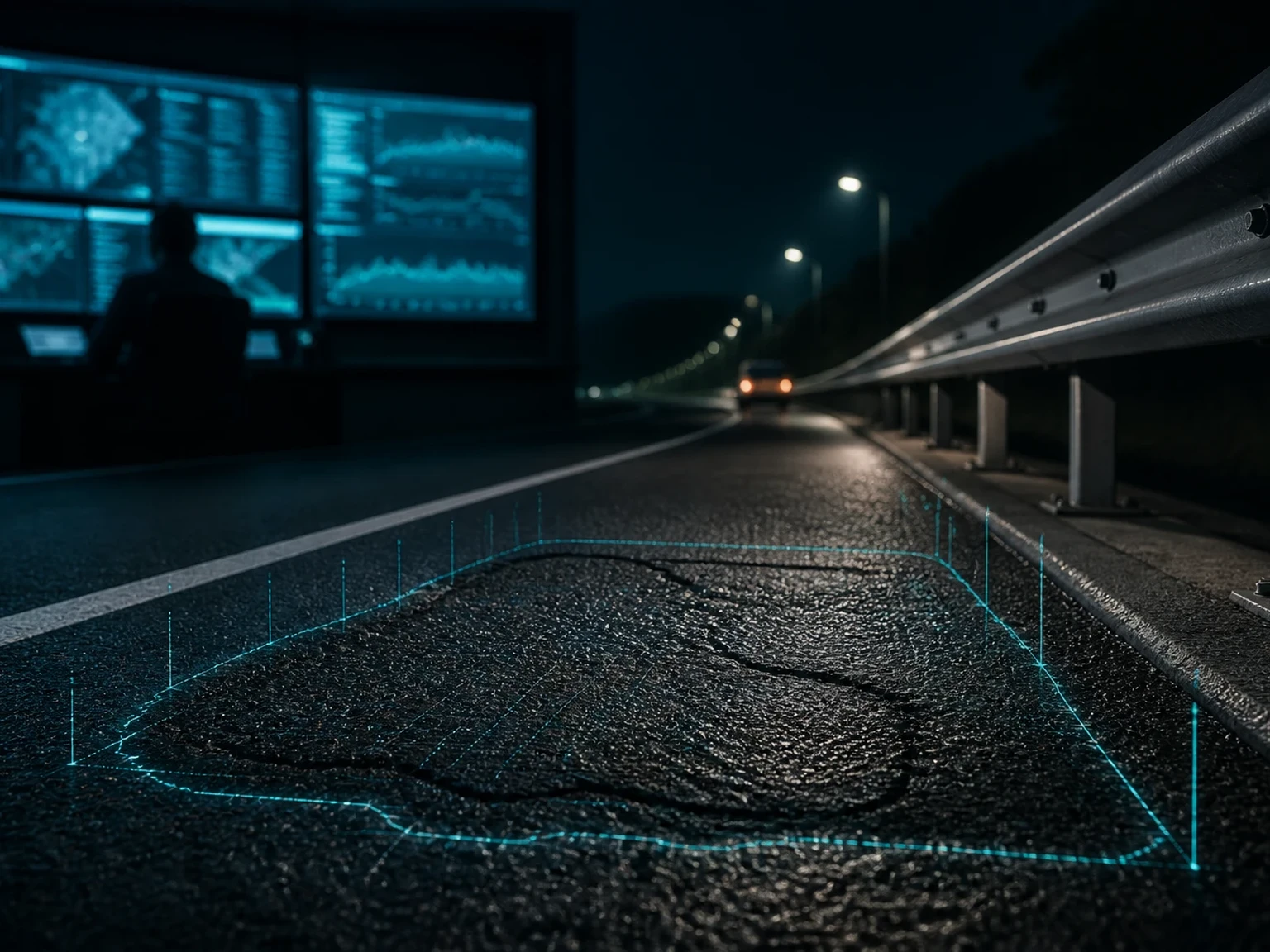
Surface distress — cracks, patches, and other visible defects — is easier to miss or score inconsistently when review is purely manual, and volumes are high. Vision models trained on real survey streams can flag pavement issues frame by frame as the vehicle moves, giving networks a repeatable first pass at condition assessment.
The goal is not a prettier video. It is a consistent defect signal that scales with the kilometres you already drive and record.

Roadside assets
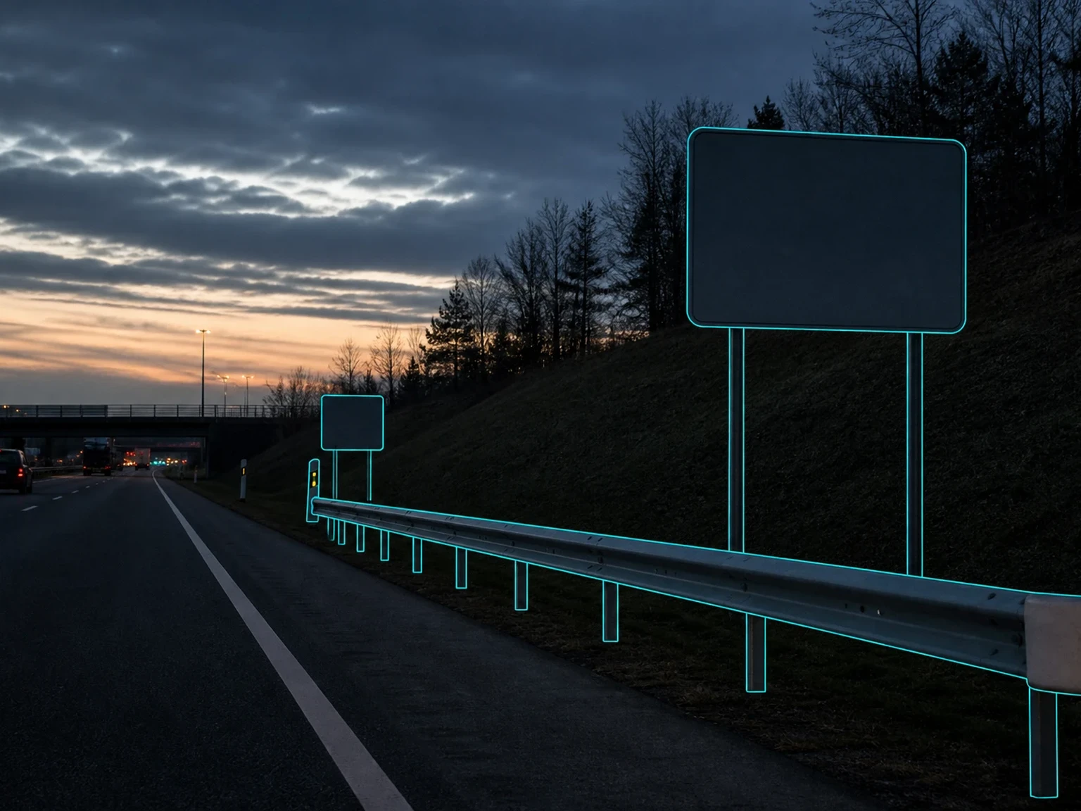
Signs, barriers, guardrails, and lane markings are the inventory layer of the corridor. Detecting them across highway scenes supports network-level awareness: what is present, where it sits relative to the run, and which assets warrant a closer look.
Asset detection sits beside pavement work rather than replacing it. Condition of the surface and status of roadside infrastructure are different questions that share the same camera stream.
Traffic and object tracking
Highway video is rarely a static catalogue. Vehicles and other objects move through the frame and change what is occluded, how long an asset is visible, and whether a defect observation is reliable.
Tracking traffic objects across frames adds context to asset and defect detections — temporal continuity that a single still cannot provide — whether the source is a survey vehicle or a fixed roadside camera.

Measure, then log for maintenance
Detectors become useful when they carry size and location context. Depth-assisted distance and area estimation turn pixels into quantities maintenance planners can compare across runs and prioritise against budgets.
Operational logging closes the loop: structured events for operators and review teams, not only a model score on a demo reel. That is how video analytics moves from insight to scheduled work.
How we ship it
We scope cameras, accuracy targets, and integration points up front; build against your real streams; and deploy to edge or server with monitoring and a clear handover.
If you are evaluating road or infrastructure vision for survey, inventory, or maintenance workflows, tell us what you are measuring — we will scope quickly and keep the path to production explicit.